Resources
Explore all of our content to learn more about how Ecopia is digitizing the world with AI.
Blog
Insurance
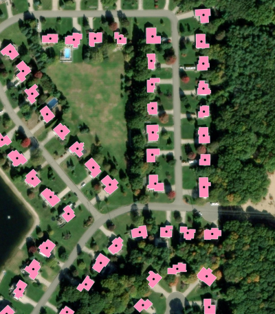
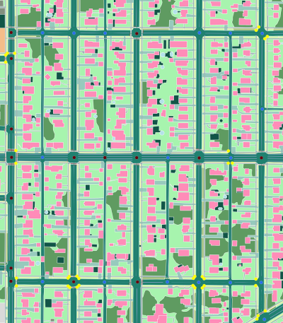
Levels of Precision in Geocoding: A Comprehensive Guide
Blog
Climate Resilience
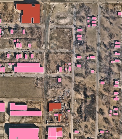
Developing a Geospatial Dam Inventory with AI-Based Mapping

News
Digital Twin
Ecopia AI Provides High-Precision Mapping Data for NVIDIA Earth-2 Climate Digital Twin Cloud Platform
Blog
Digital Twin
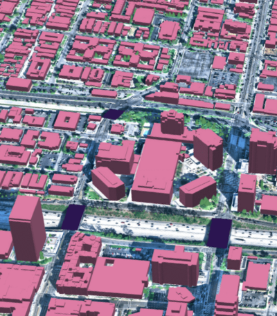
GeoAI: The Ultimate Guide to AI-Based Mapping
Case Study
Climate Resilience
How Ecopia AI’s Land Cover Data is Supporting Decision-Making in the City of Marysville

Blog
Transportation Planning
Geospatial Data Resources for Traffic & Safety Engineering

Blog
Insurance
Predicting & Preventing Risk: The Future of Insurtech
Blog
Transportation Planning
How GIS Supports Local Technical Assistance
Blog
Digital Twin
Top Applications for Statewide GIS Data

Blog
Insurance
The Future of High-Precision Location Data for Insurance

Blog
Insurance
Master Address Data Management with Building-Based Geocoding

Blog
Digital Twin
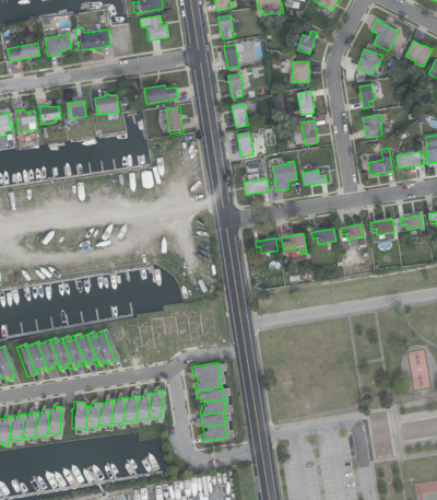
Top 10 Applications for Building Footprint Data
