View Samples
View Samples

Resources

Explore all of our content to learn more about how Ecopia is digitizing the world with AI.

Ecopia AI Named One of Canada's Clean Technology Winners in Deloitte's Technology Fast 50™ Program
Ecopia AI Named One of Canada's Clean Technology Winners in Deloitte's Technology Fast 50™ Program
Read more about Ecopia AI Named One of Canada's Clean Technology Winners in Deloitte's Technology Fast 50™ Program

Farmers Insurance to Leverage Ecopia's Building-Based Geocoding for Insurance Decision-Making

Farmers Insurance to Leverage Ecopia's Building-Based Geocoding for Insurance Decision-Making
Read more about Farmers Insurance to Leverage Ecopia's Building-Based Geocoding for Insurance Decision-Making

Contra Costa County Public Works Partners With Ecopia AI to Create Right-of-Way Transportation Planning Maps
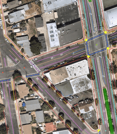
Contra Costa County Public Works Partners With Ecopia AI to Create Right-of-Way Transportation Planning Maps
Read more about Contra Costa County Public Works Partners With Ecopia AI to Create Right-of-Way Transportation Planning Maps

Using ARPA Funds to Optimize Water and Sewer Planning - Powered by Ecopia's HD Maps

Using ARPA Funds to Optimize Water and Sewer Planning - Powered by Ecopia's HD Maps
Read more about Using ARPA Funds to Optimize Water and Sewer Planning - Powered by Ecopia's HD Maps

Ecopia and Alta Planning + Design Partner to Improve Pedestrian Walkability & Safety Using AI

Ecopia and Alta Planning + Design Partner to Improve Pedestrian Walkability & Safety Using AI
Read more about Ecopia and Alta Planning + Design Partner to Improve Pedestrian Walkability & Safety Using AI

Ecopia AI Creates HD Map of Toronto for Autonomous Vehicles through Partnership with Government of Ontario

Ecopia AI Creates HD Map of Toronto for Autonomous Vehicles through Partnership with Government of Ontario
Read more about Ecopia AI Creates HD Map of Toronto for Autonomous Vehicles through Partnership with Government of Ontario

Ecopia AI and Hexagon Partner to Create 3D Nationwide Land Cover Across the USA
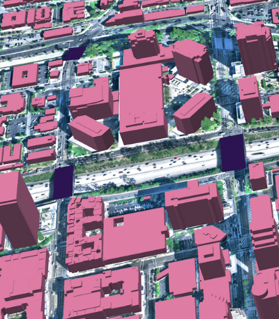
Ecopia AI and Hexagon Partner to Create 3D Nationwide Land Cover Across the USA
Read more about Ecopia AI and Hexagon Partner to Create 3D Nationwide Land Cover Across the USA

Leveraging AI to Enable Fast and Efficient Coastal Analysis for NOAA

Leveraging AI to Enable Fast and Efficient Coastal Analysis for NOAA
Read more about Leveraging AI to Enable Fast and Efficient Coastal Analysis for NOAA

Ecopia and AAM Partner to Deliver 3D Land Cover Data Across City of Perth for Local State Information Authority
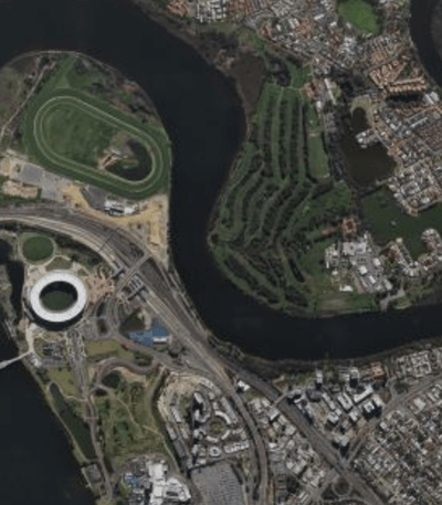
Ecopia and AAM Partner to Deliver 3D Land Cover Data Across City of Perth for Local State Information Authority
Read more about Ecopia and AAM Partner to Deliver 3D Land Cover Data Across City of Perth for Local State Information Authority

Harford Mutual Insurance Group Partners with Ecopia AI to Enable More Accurate and Efficient Risk Assessment

Harford Mutual Insurance Group Partners with Ecopia AI to Enable More Accurate and Efficient Risk Assessment
Read more about Harford Mutual Insurance Group Partners with Ecopia AI to Enable More Accurate and Efficient Risk Assessment

Leveraging Geospatial Data to Improve Transportation Safety
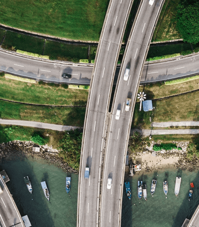
Leveraging Geospatial Data to Improve Transportation Safety
Read more about Leveraging Geospatial Data to Improve Transportation Safety

How Bloosurf Used Ecopia's Building-Based Geocoding Solution to Identify Broadband Serviceable Locations Remotely

How Bloosurf Used Ecopia's Building-Based Geocoding Solution to Identify Broadband Serviceable Locations Remotely
Read more about How Bloosurf Used Ecopia's Building-Based Geocoding Solution to Identify Broadband Serviceable Locations Remotely